Click to enlarge
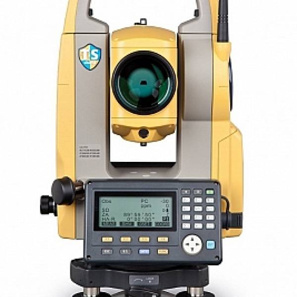
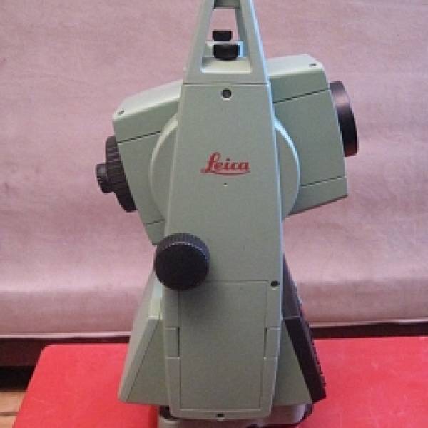
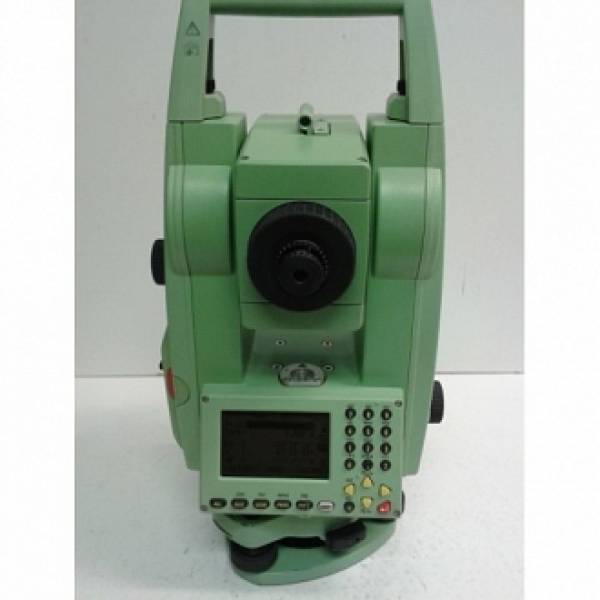
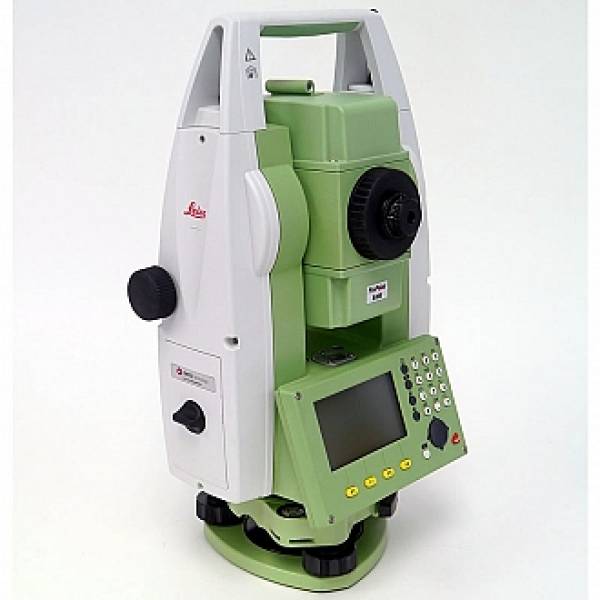
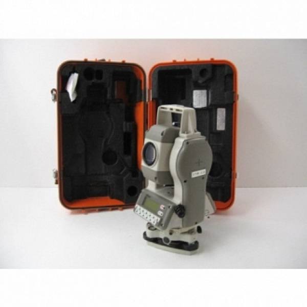
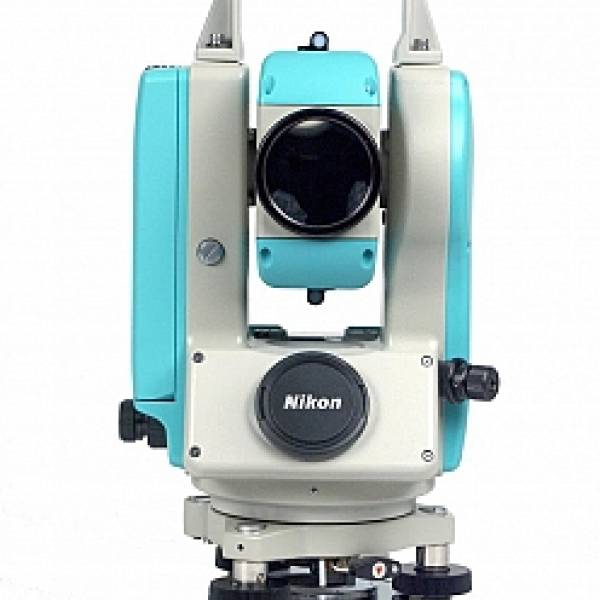
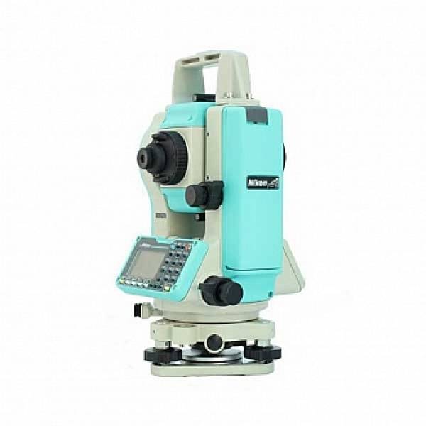
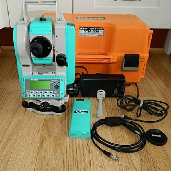
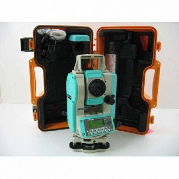
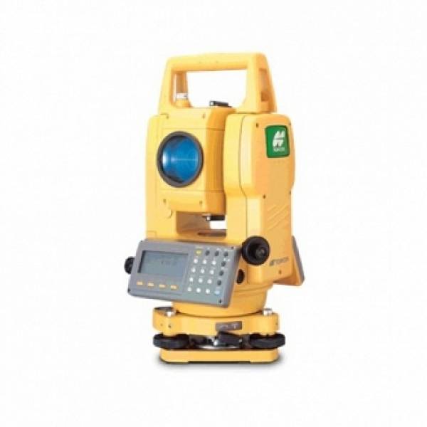
Máy toàn đạc điện tử Topcon GTS 255N
Số lượng đặt hàng tối thiểu (MOD) 1 Chiếc
Thời gian giao hàng dự kiến tương tác trực tiếp nhà cung cấp

CÔNG TY CP XÂY DỰNG - ĐO ĐẠC TRƯỜNG SƠN
Công ty thương mại
Địa chỉ: 2Bis Trường Sơn, P.2 , Q. Tân Bình, Tp HCM
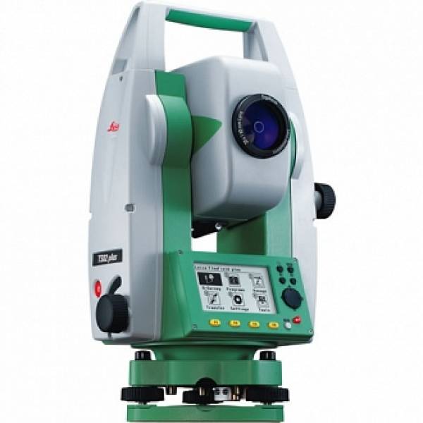
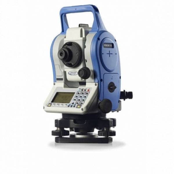
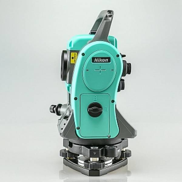
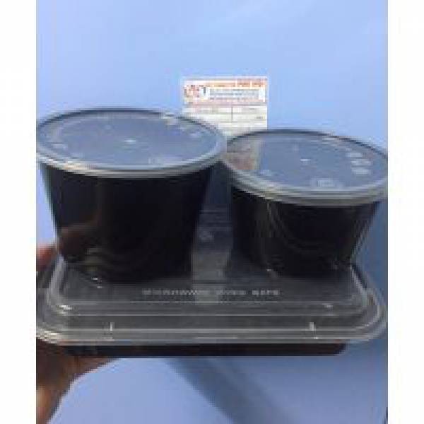
Gợi ý cho bạn
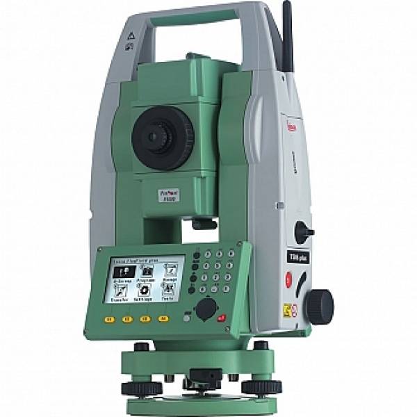
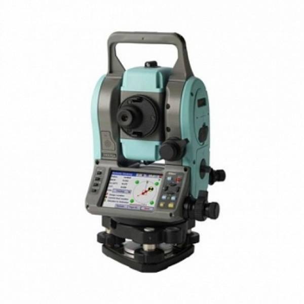
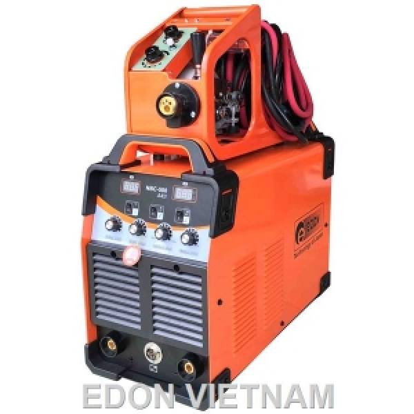
Có thể bạn quan tâm


HÌNH ẢNH


HỒ SƠ CÔNG TY
| Tên công ty: | CÔNG TY CP XÂY DỰNG - ĐO ĐẠC TRƯỜNG SƠN |
| Mã số thuế: | 0312236339 |
| Ngày bắt đầu hoạt động: | 05-09-2018 |
| Địa chỉ đăng ký kinh doanh: | 2Bis Trường Sơn, P.2 , Q. Tân Bình, Tp HCM |
Chất lượng sản phẩm
w*******************d
Malaysia

The item received safely. Thank you.
15 Nov 2020
5
w*******************d
Malaysia
The item received safely. Thank you.
15 Nov 2020
5
w*******************d
Malaysia
The item received safely. Thank you.
15 Nov 2020
5
w*******************d
Malaysia
The item received safely. Thank you.
15 Nov 2020
5
Nhận miễn phí báo giá từ nhiều nhà bán hàng
-
Cho chúng tôi biết
Bạn cần gì -
Nhận báo giá
từ người bán hàng -
Thỏa thuận
để chốt giao dịch
Để Lại Yêu Cầu Của Bạn
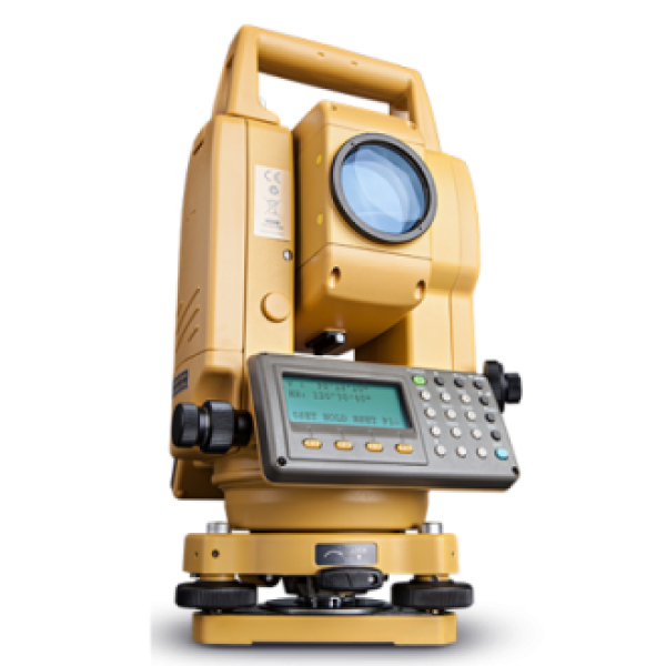
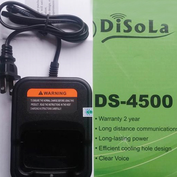
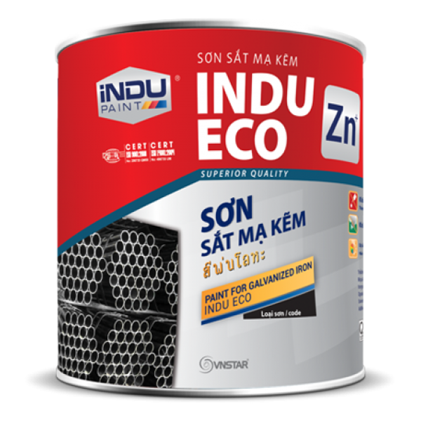
Sản phẩm cùng nhà cung cấp